Map Gallery
A collection of maps and spatial visualisations. Click an image to open it full size.
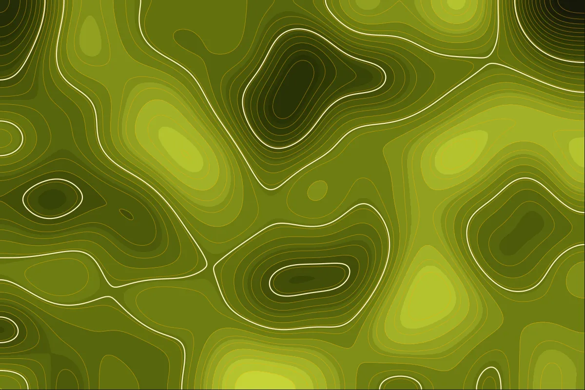
Terrain contoursSample · elevation isolines
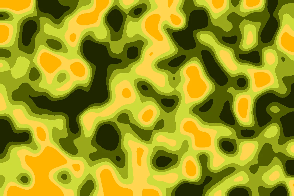
Land-cover classificationSample · six-class LULC raster
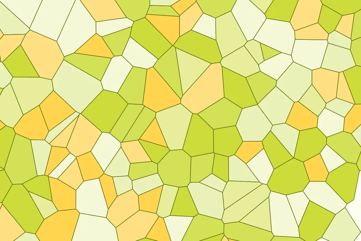
Land parcelsSample · parcel polygons by category

Hillshade reliefSample · shaded terrain model
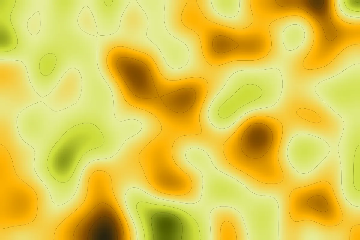
Vegetation indexSample · continuous index surface
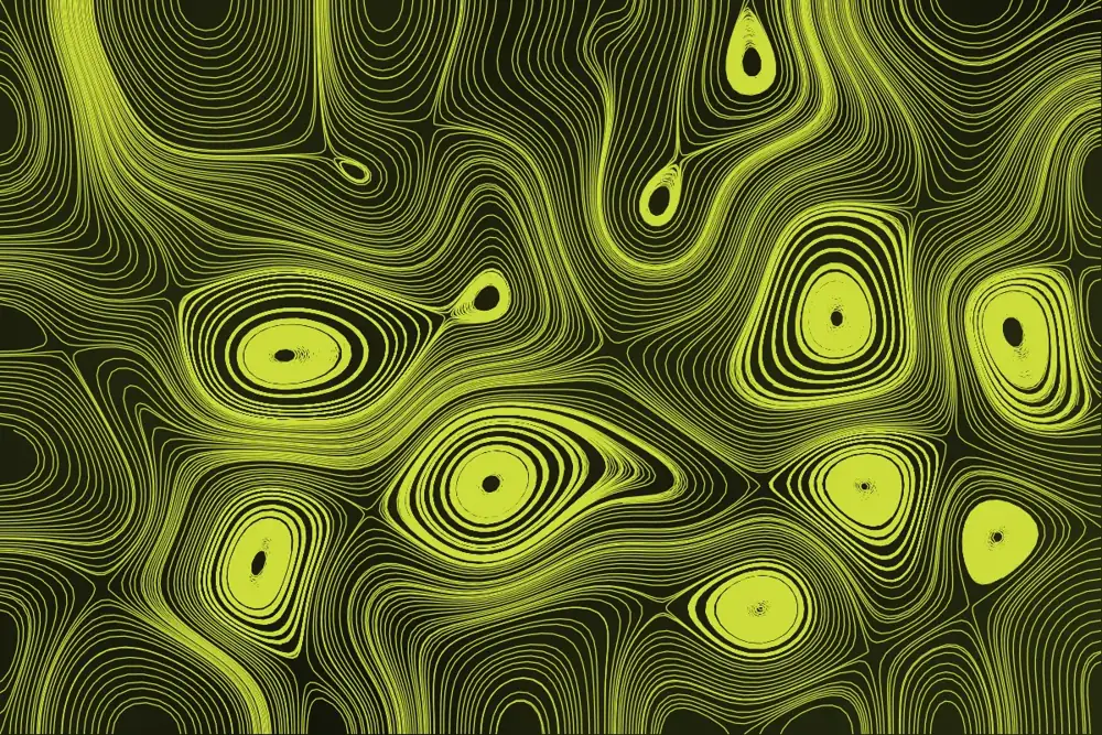
Flow linesSample · drainage-style streamlines