Urban Heat Island Analysis
Sample project
This is a dummy page showing the layout for a finished project. Replace the text, image and links with your own work.
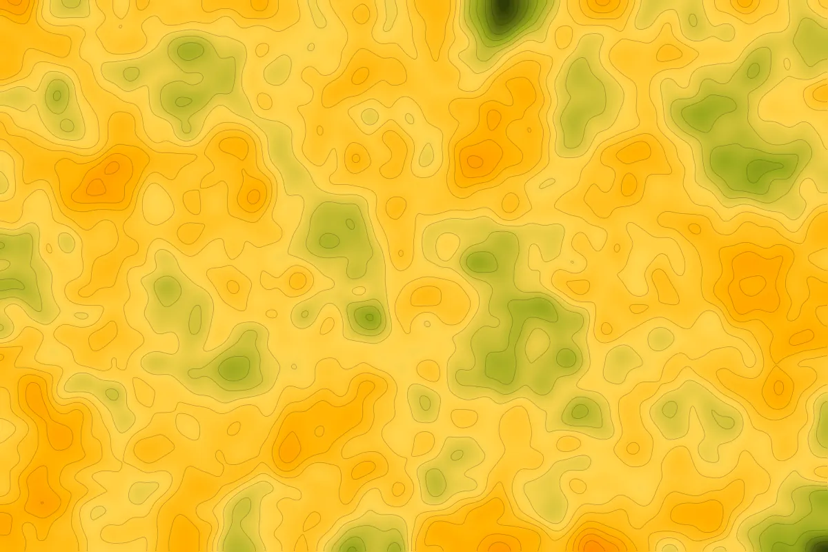
Landsat Google Earth Engine Land Surface Temperature Python
Overview
Sample description: map land surface temperature across a city and relate hotter zones to land cover, to show where cooling measures would help most.
Study Area: [City or region]
Duration: [Start – End]
Role: [Solo project / Team]
Status: Sample
Methods & Tools
Processing Steps
- Collect and cloud-mask satellite imagery for the summer period.
- Derive land surface temperature and a vegetation index.
- Classify land cover and compare temperature across classes.
- Map hotspots and summarise findings.
Tools Used
- Google Earth Engine — image collection and processing
- Python — statistics and charts
- QGIS — final map layout
Key Findings
- [Finding one — add a number or metric]
- [Finding two]
- [Finding three]